Learn about our historical research portal for professional and first-time researchers


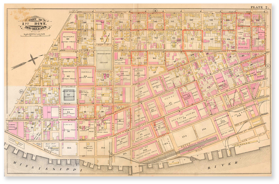
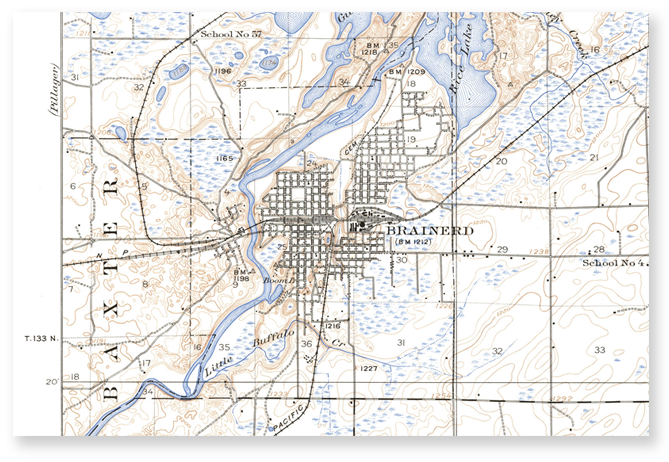
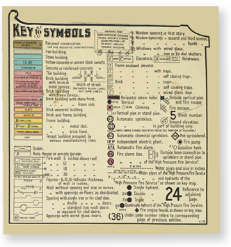
Explore U.S. history with millions of maps,
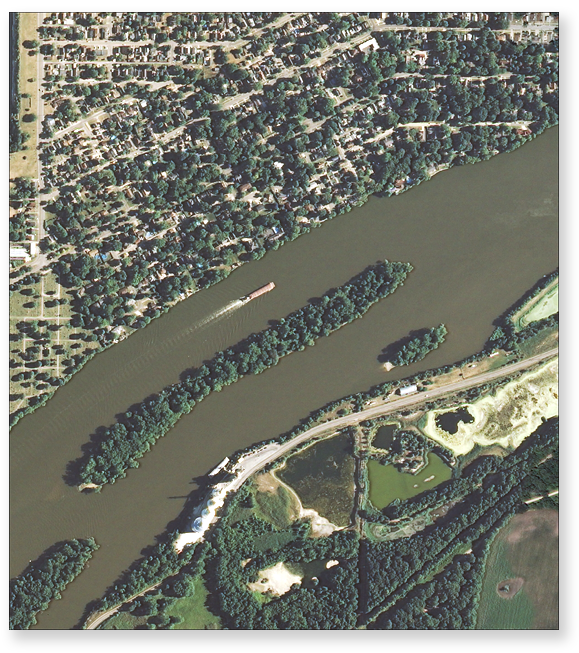
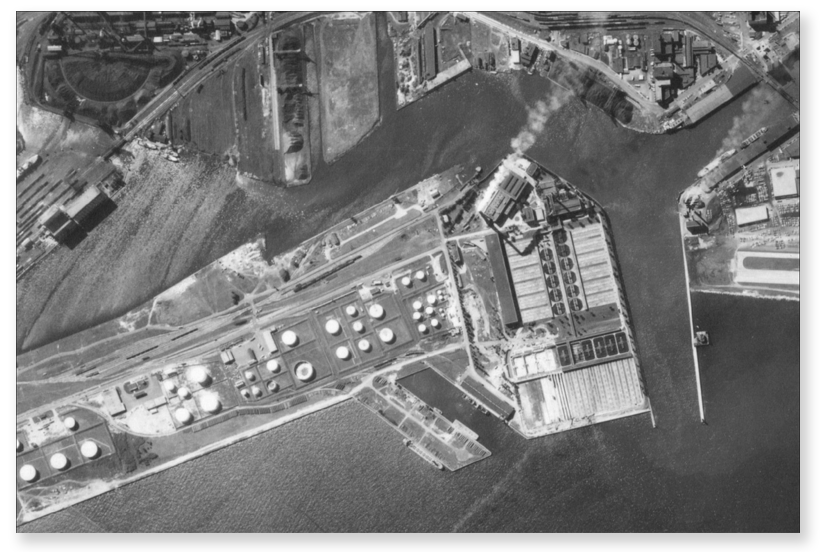
aerial photographs and street directories


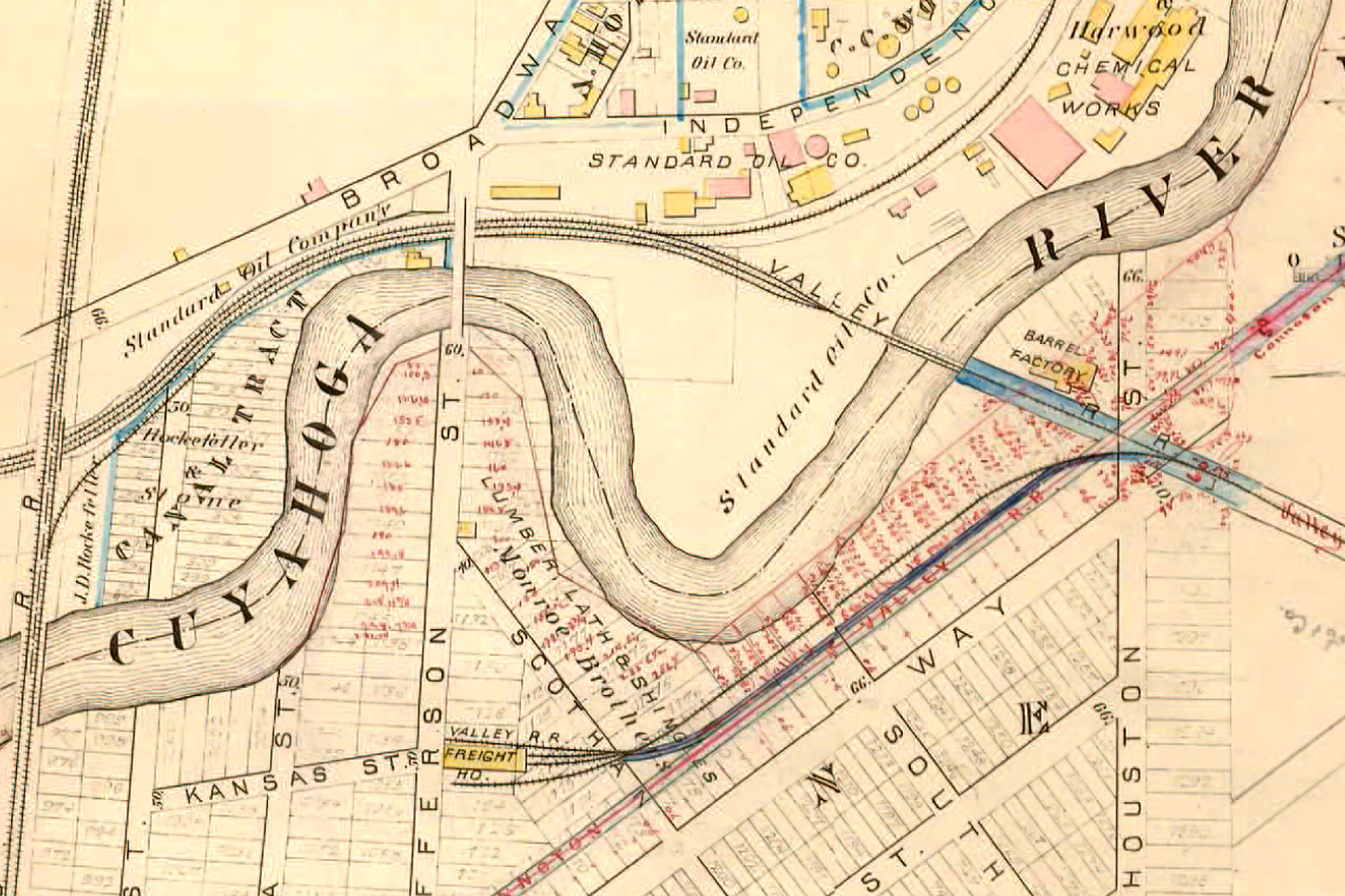
“I always tell patrons about this tool. It features color, which is the big advantage. Colored maps look better in presentations and it gives an indication of building materials that were used. The interactive map is really good and the citation and year on the map are wonderful.”
“Maps make research come alive and HistoryMosaic gives the researcher the best available fire insurance map content. What’s great about this tool is that the maps are digital and the georeferenced images overlay exactly. I love the usefulness of this product for a wide range of academic disciplines.”