HistoryMosaic is an online research platform created by Historical Information Gatherers.
HIG was founded in 1997 as a professional research firm specializing in delivering historical property data to environmental consultants, attorneys, engineers and historic preservation professionals. Over time, our historical data transitioned from paper copies of original documents, to electronic files and now to HistoryMosaic, an online, self-service research platform designed to be used by professional and novice researchers.
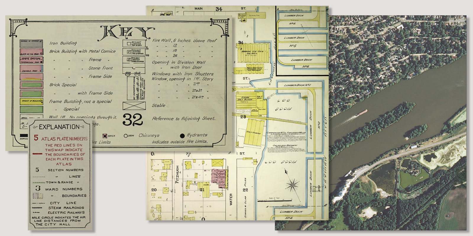
To create our digital collection of historical data, HIG traversed the United States and visited hundreds of libraries, historical societies and government agencies. The result is millions of electronic files that tell the history of land use in modern America — through aerial photographs, street directories, topographic maps, fire insurance maps and city and county atlases, some dating back to the mid-1800s.
In 2017, HIG launched our first research platform called Fire Insurance Maps online, or FIMo for short. These fascinating maps are now incorporated into HistoryMosaic. As we continue to add historical imagery and documents to HistoryMosaic, we want to acknowledge our many collaborators in the academic, private publishing and government sectors. Thanks to help from these organizations, historical property information is now easily accessible and fun to research!

