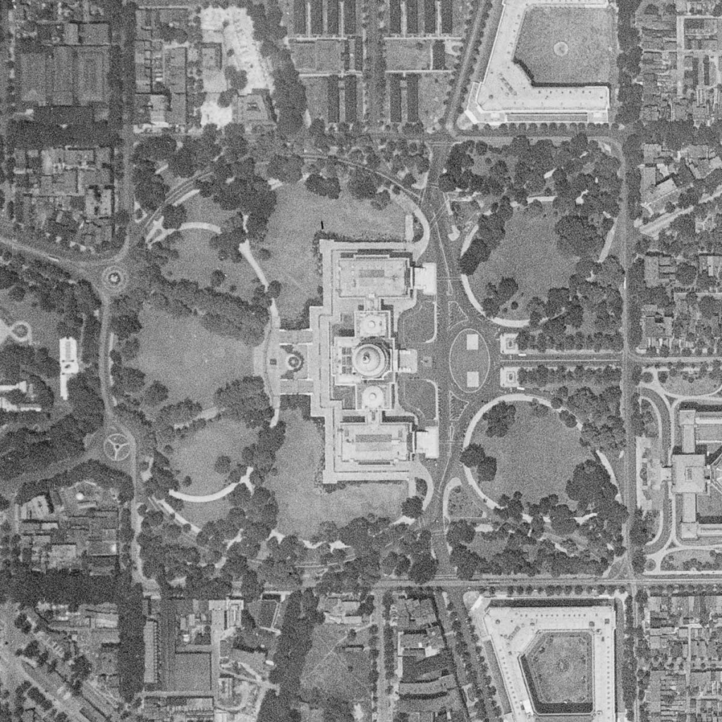
The Aerial Flights layer in HistoryMosaic contains aerial photographs for specific areas such as an entire county or city, often referred to as a “flight.” Data shown in the search results for aerial flights includes:
- Year – the year flight was conducted or the primary year when the work was completed over more than a year time span.
- Agency – the government agency that contracted the flight, the current source of the photographs or the aerial photograph producer.
- Scale – the approximate scale of the imagery. The lower the number, the better the resolution but the less area shown on each photo.
- Film Type – Color, B&W, infrared or other.
In addition, a check box allows the user to turn on referenced index maps, if available, in the Mapping Window. The View Publication button opens the Publication Window to view any images from the publication in the collection.
Historical Aerial Maps
The Aerial Frames layer includes georeferenced photographs which makes finding them significantly easier. Over time, more and more aerial photographs in the HistoryMosaic collection will be georeferenced.
Photos in the aerial frames layer may be viewed by clicking the checkbox on the left side of the search results. Referenced imagery will display in the mapping window. Unreferenced images will display in a Viewing Window which opens to the right of the Mapping Window.
