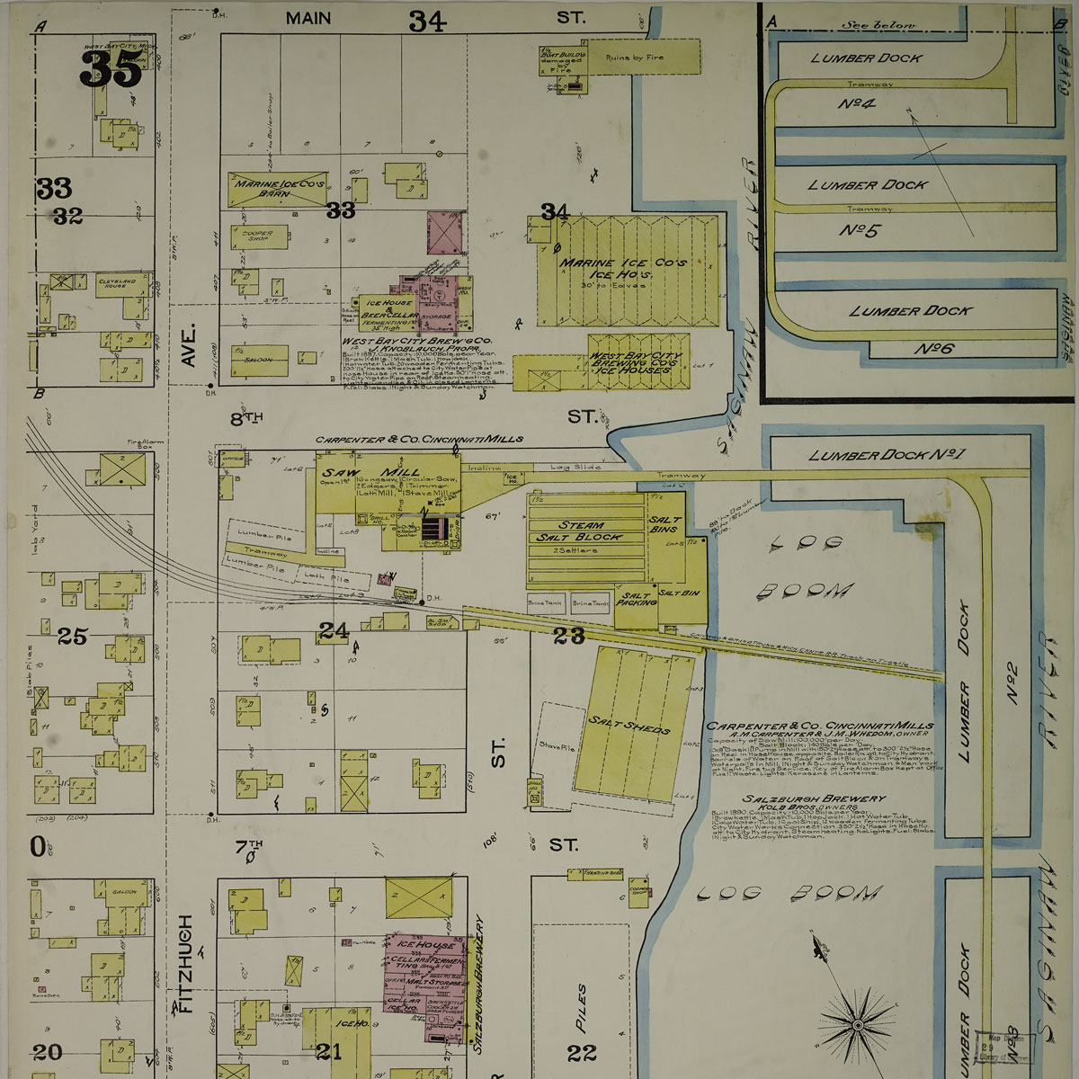
HistoryMosaic is a fascinating look back in time. HistoryMosaic is the world’s largest online digital collection of color fire insurance maps, real estate atlases, aerial photographs, topographic maps and street directories for the United States. HistoryMosaic is an invaluable resource for research on urban development patterns, property history uses and occupants, the location of family homes, genealogy and more!
HistoryMosaic subscriptions can be tailored to fit the needs of each organization. We offer a variety of subscription options for libraries, government agencies and private companies. As a subscriber, you can choose to include all the HistoryMosaic data layers, or just the layers you need. We can also tailor the geographic area of coverage you need – pick one state, a group of states or the entire United States. To learn more about a HistoryMosaic subscription or to arrange an online, remote demonstration, contact David or use the form below – we will get back to you within two business days!
Students and scholars use HistoryMosaic to learn about the history of urban planning and design, land use changes over time, geography, and the history of place names.
Professionals who use HistoryMosaic are environmental professionals, attorneys, historians, property appraisers, engineers, genealogists and architects.
Family research is a fun hobby for many. HistoryMosaic adds a new dimension by displaying homes, places of employment, churches, schools, public buildings and entire neighborhoods were our ancestors lived, worked and played.
What our clients say
“I give it a 10 for the quality of the content and intuitive interface.”
“It’s Sanborn Maps and they are in color!”

